")
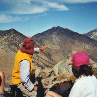
Keller Lookout, photo by Sunny Yi
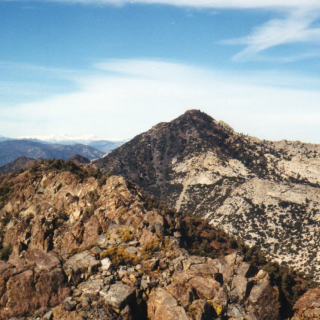
Keller Lookout #2, photo by Sunny Yi
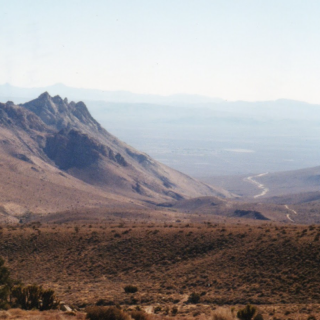
Keller, photo by Steve Russell
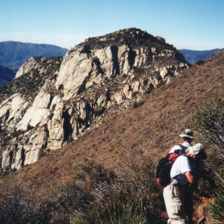
Keller Peak (Lookout), photo by Sunny Yi


Peakbagger.com

Nearest ranger station

NOAA Forecast

Google Earth