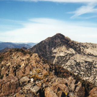
The Pinnacles, taken from the west, photo by Sunny Yi
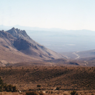
The Pinnacles, taken from West #2, photo by Sunny Yi
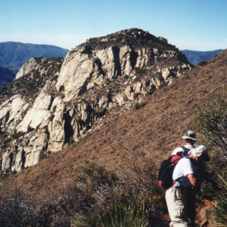
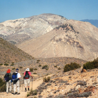
The Pinnacles, photo by Steve Russell
The Pinnacles, photo by Steve Russell


Peakbagger.com

Nearest ranger station

NOAA Forecast

Google Earth