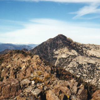
Telegraph, taken from Sugarloaf, photo by Kathy Wing
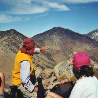
Telegraph Peak, taken from Bighorn, photo by Kathy Wing
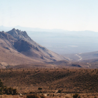
Telegraph, taken from Timber, photo by Chris Waldheim
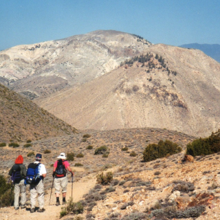
Telegraph, photo by Steve Russell
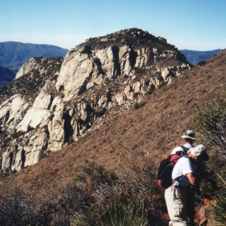
Timber Telegraph, taken from Icehouse Saddle, photo by Kathy Wing


Peakbagger.com

Nearest ranger station

NOAA Forecast

Google Earth