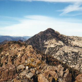
Pacifico Mountain, looking west from the Summit, photo by Chris Waldheim
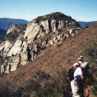
Pacifico Mountain, taken from the Bare Mountain Trail, photo by Chris Waldheim
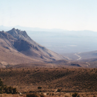
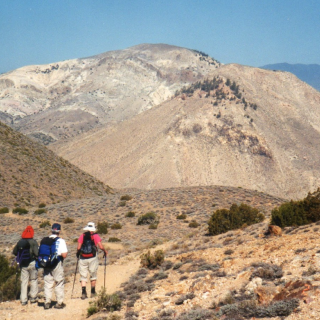
Pacifico Mountain, photo by Steve Russell
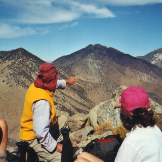
View from Pacifico Mountain, photo by Sunny Yi


Peakbagger.com

Nearest ranger station

NOAA Forecast

Google Earth