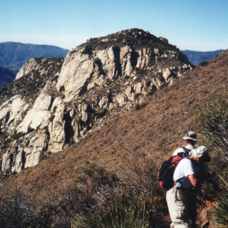
Apache and Spitler Peaks, taken from Antsell Rock, photo by Kathy Wing
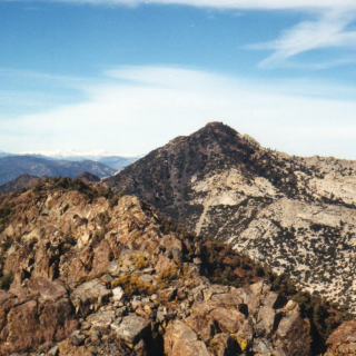
ApachePeak doublesummit, photo by Sharon Moore
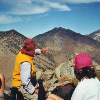
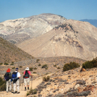
ApachePeak summit, photo by Sharon Moore


Peakbagger.com

Nearest ranger station

NOAA Forecast

Google Earth