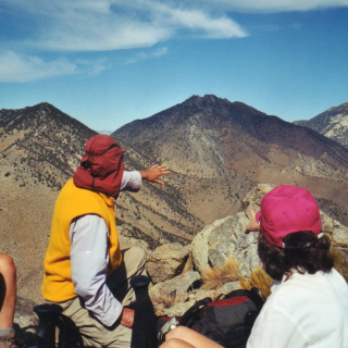
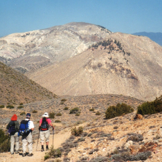
Silver Peak from Route 1, photo by Valerie Norton
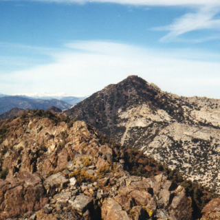
Silver Peak, photo by Google Earth


Peakbagger.com

Nearest ranger station

NOAA Forecast

Google Earth